


Next
Total Found: 368
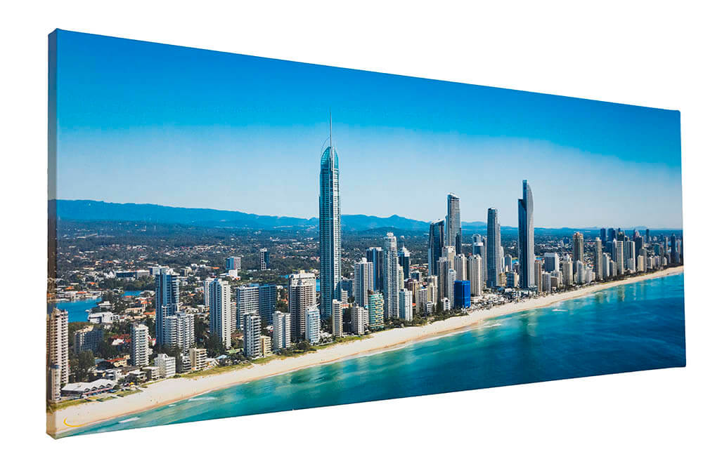
Morayfield Aerial Photography
Explore our range of Maryfield aerial photography
At Skyepics we've been capturing cities, towns and suburbs up and down Australia's east coast for almost 30 years. Using only the best quality Canon equipment, our experienced team has captured the personality of hundreds of locations from Sydney in the south all the way up to Cairns in the far north. Our Gold Coast based family run business is all about providing premium quality images that suit your purpose, whether it's a personal interest project or a major commercial enterprise.
Our library of Morayfield aerial photography captures the town from a range of angles, some showcasing the farmlands and surrounding greenery, others focusing on the residential and commercial areas of the locale, all captured with crystal clarity under blue Queensland skies using the latest Canon technology.
Browse our Morayfield aerial photography library or get in touch to order custom aerial shots for your Morayfield project
Just 44km north of Brisbane lies the town of Morayfield. Surrounded by Caboolture and Bellmere to the north, Burpengary East and Beachmere to the east, Moorina to the south west and Burpengary and Narangba to the south, this Moreton Bay area suburb is a charming sprawl of farmland, residential streets and shops. Flanked by D'Aguilar National Park to the west, Beerburrum State Forest to the North and the calm waters of Moreton Bay to the east, Morayfield is literally surrounded by natural beauty.
If you have something special in mind for your Morayfield project our photographers can provide a bespoke aerial photography service. Get in touch to find out more about our custom photography packages and how we can make your project come to life.
Gaining access to your Morayfield shots is as simple as creating an account, making your payment and downloading your files. You can have the images on your computer in a matter of minutes.
