


Pinkenba Aerial Photography
Professional aerial images of Pinkenba
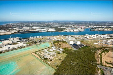
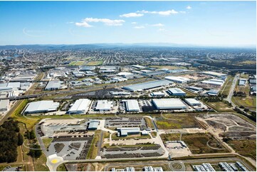
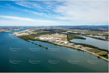
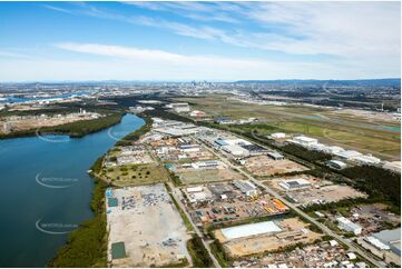
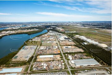
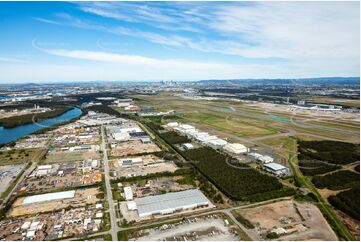
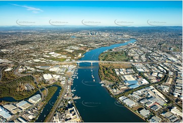
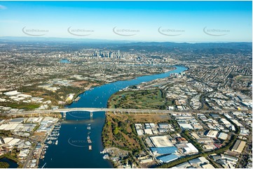
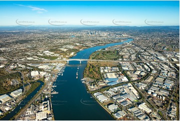
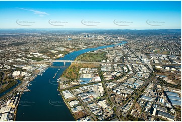
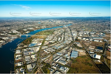
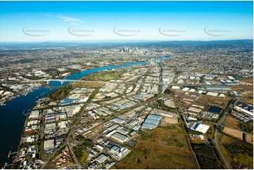
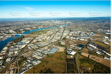
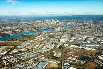
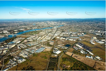
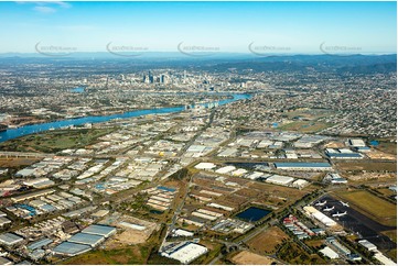
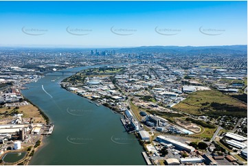
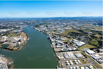
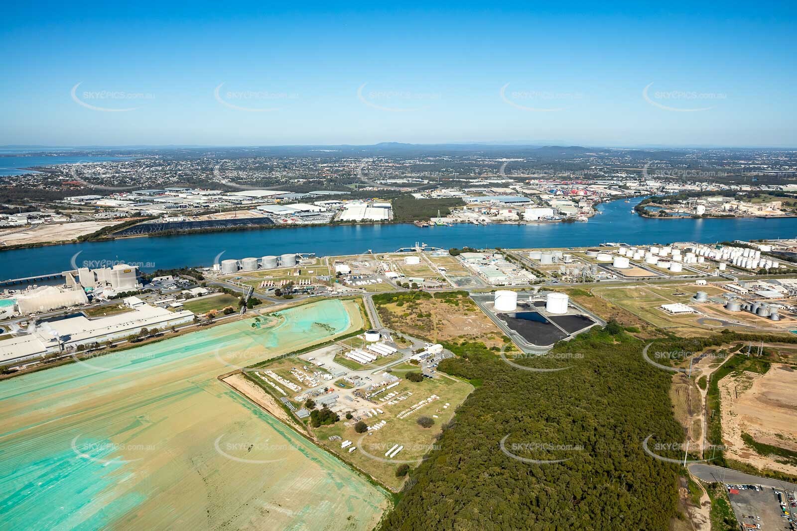
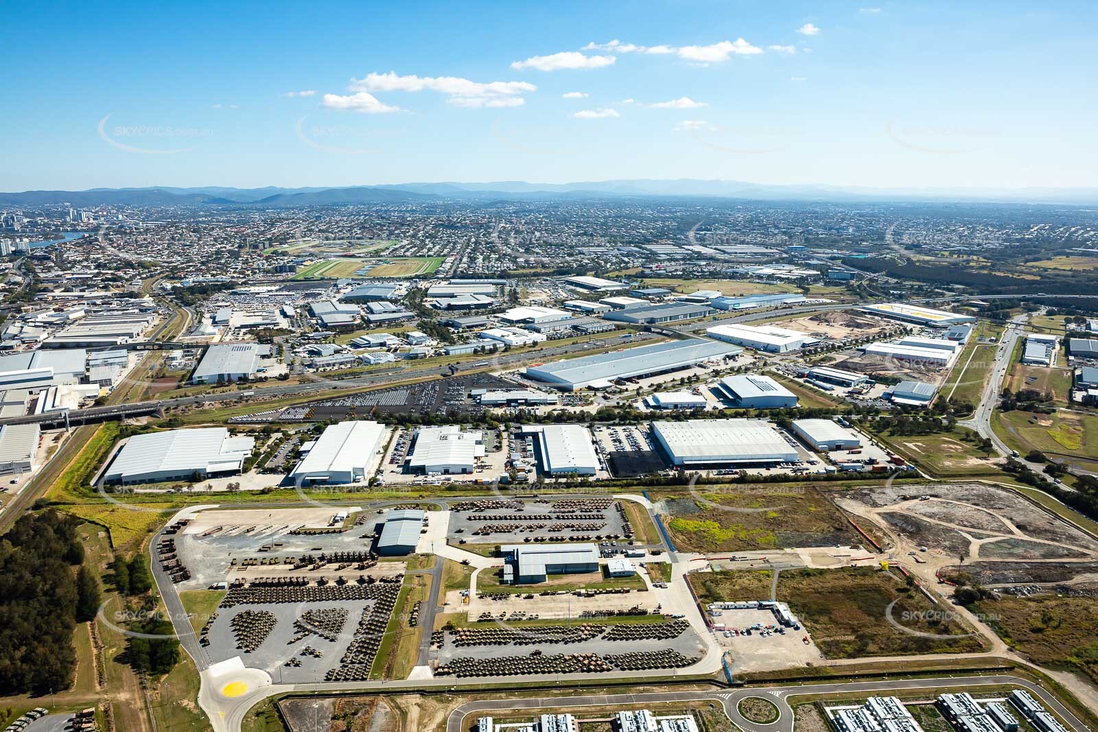
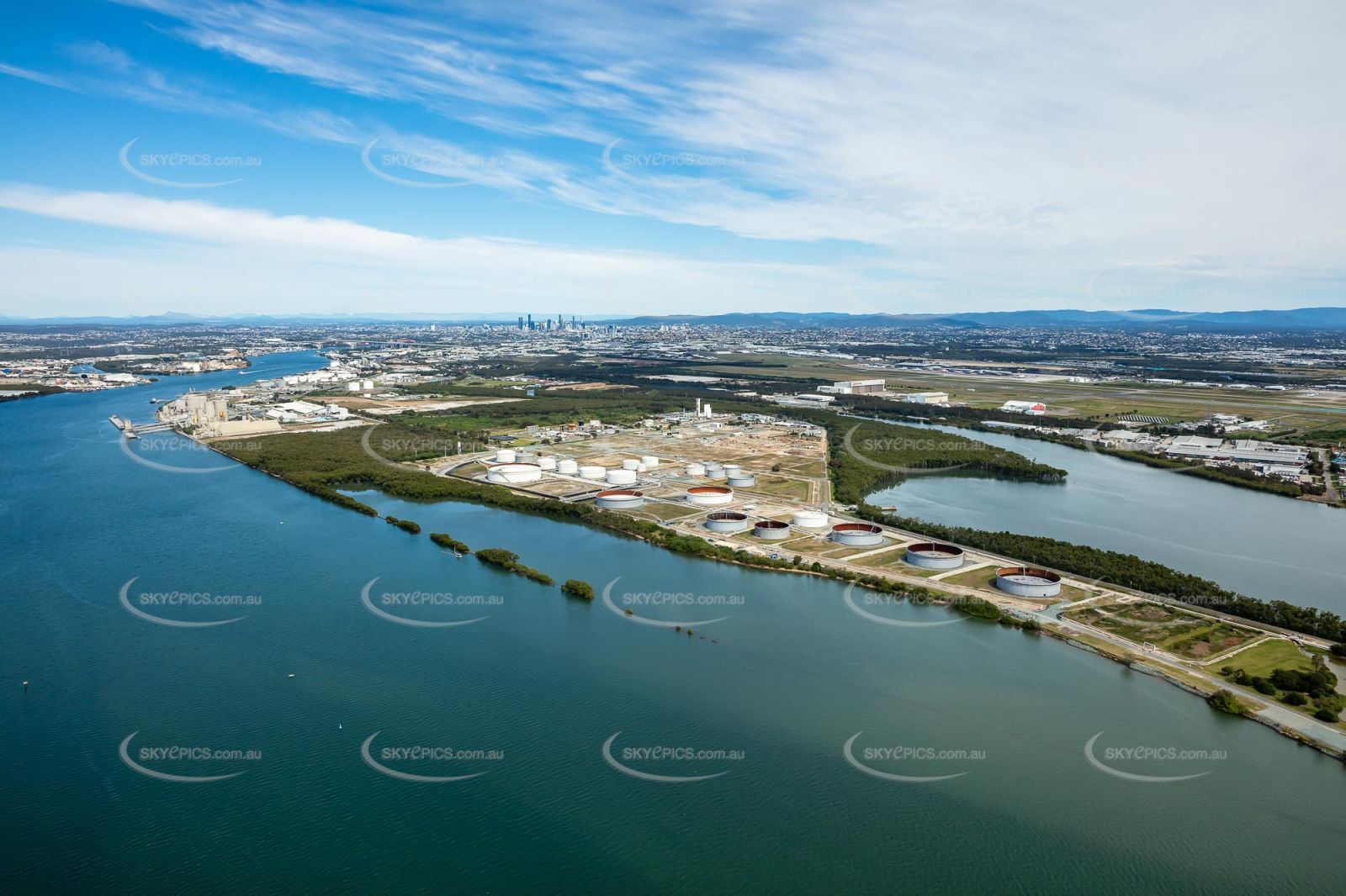
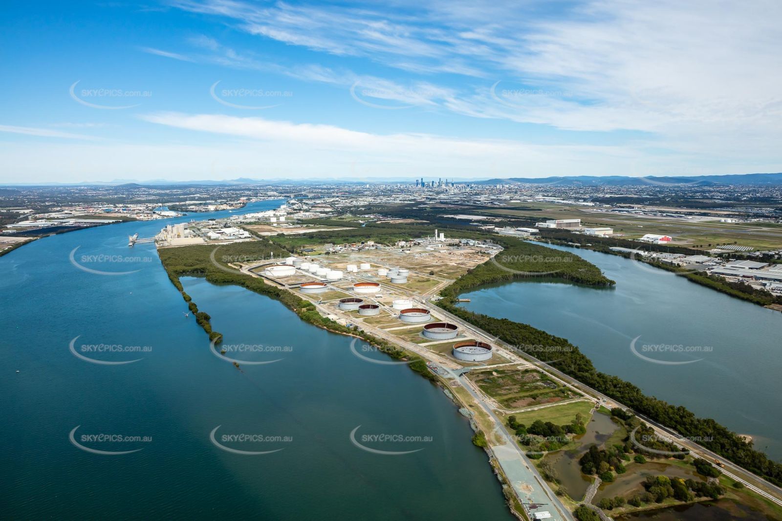
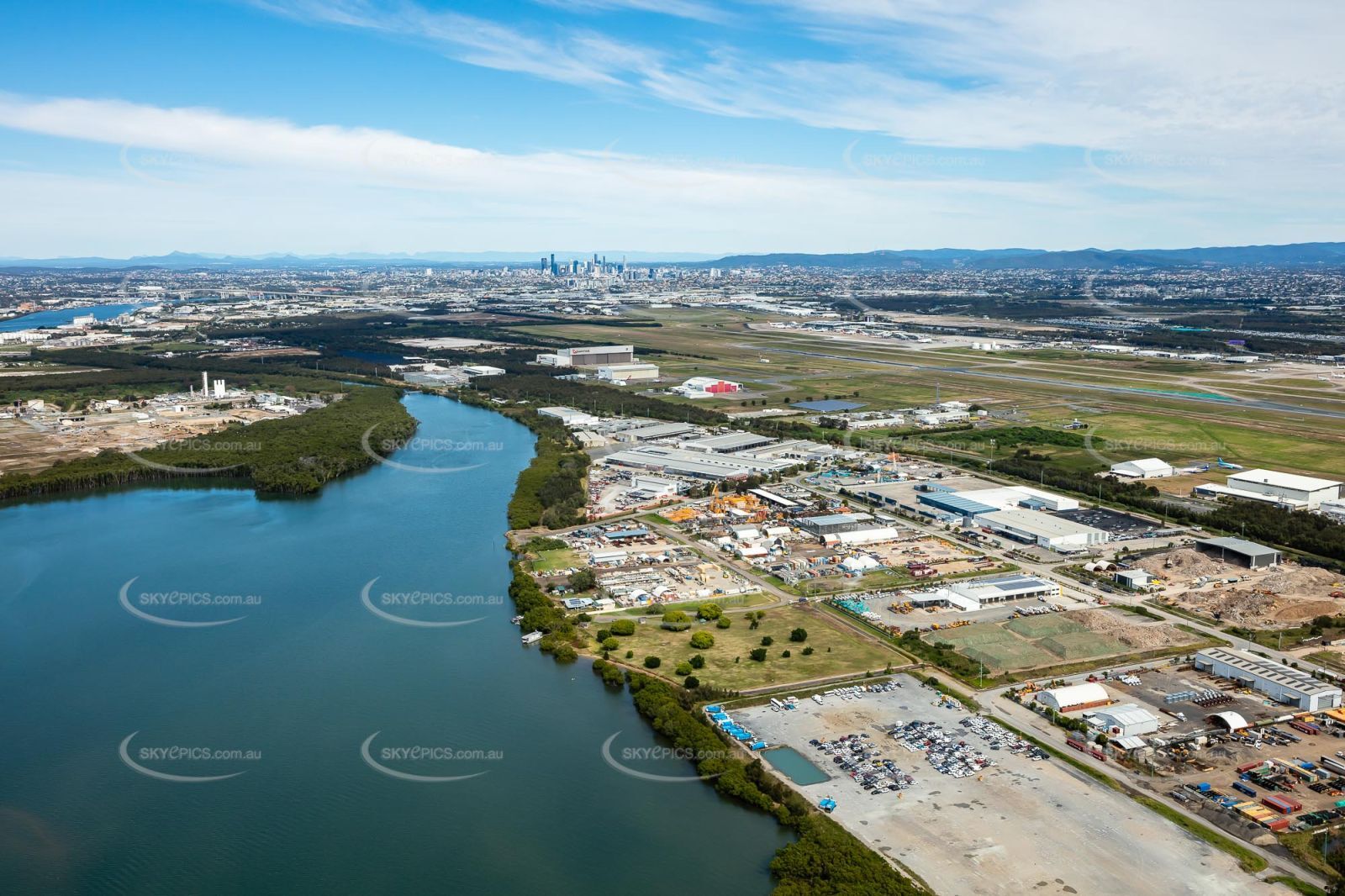
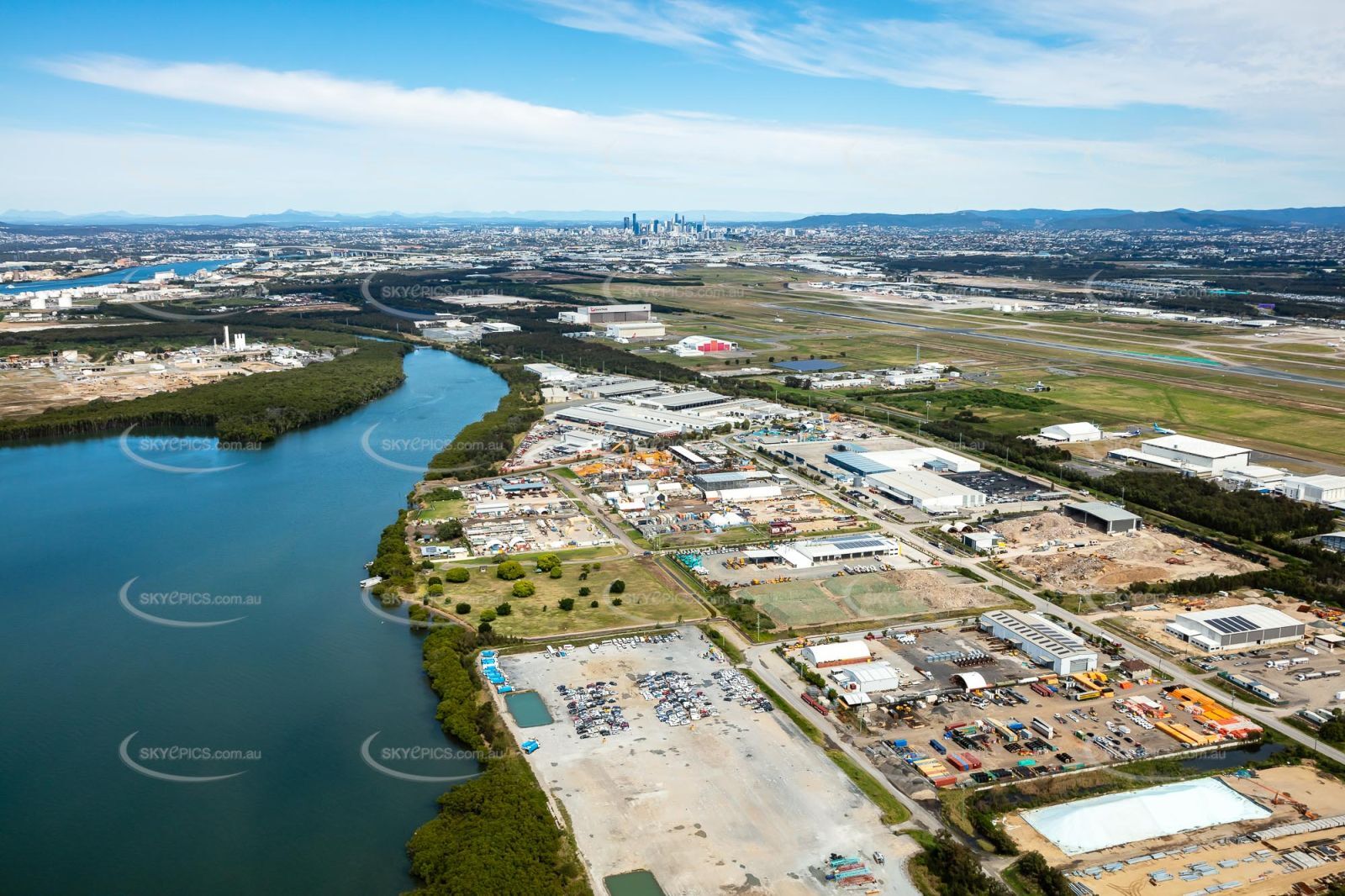
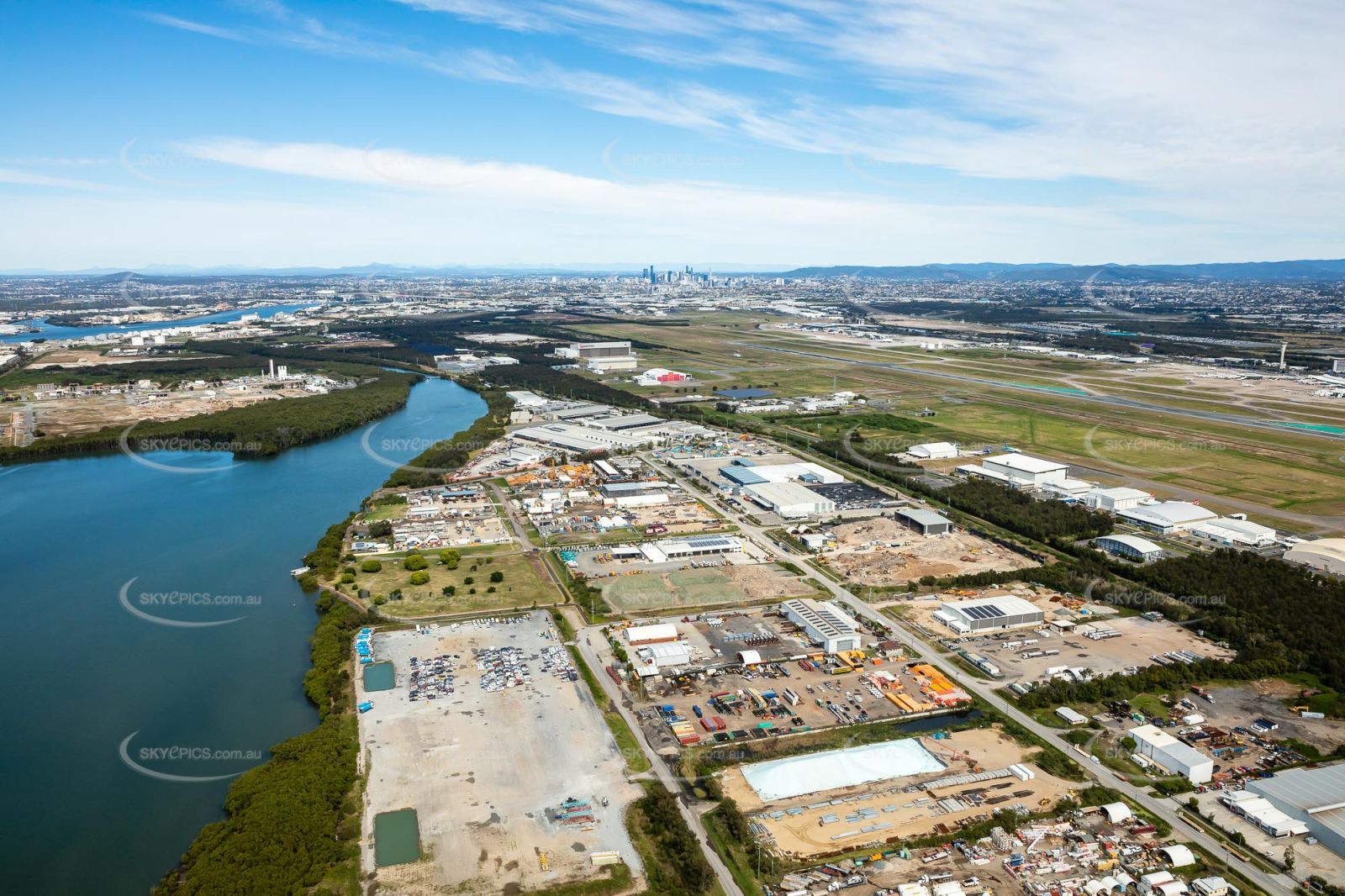
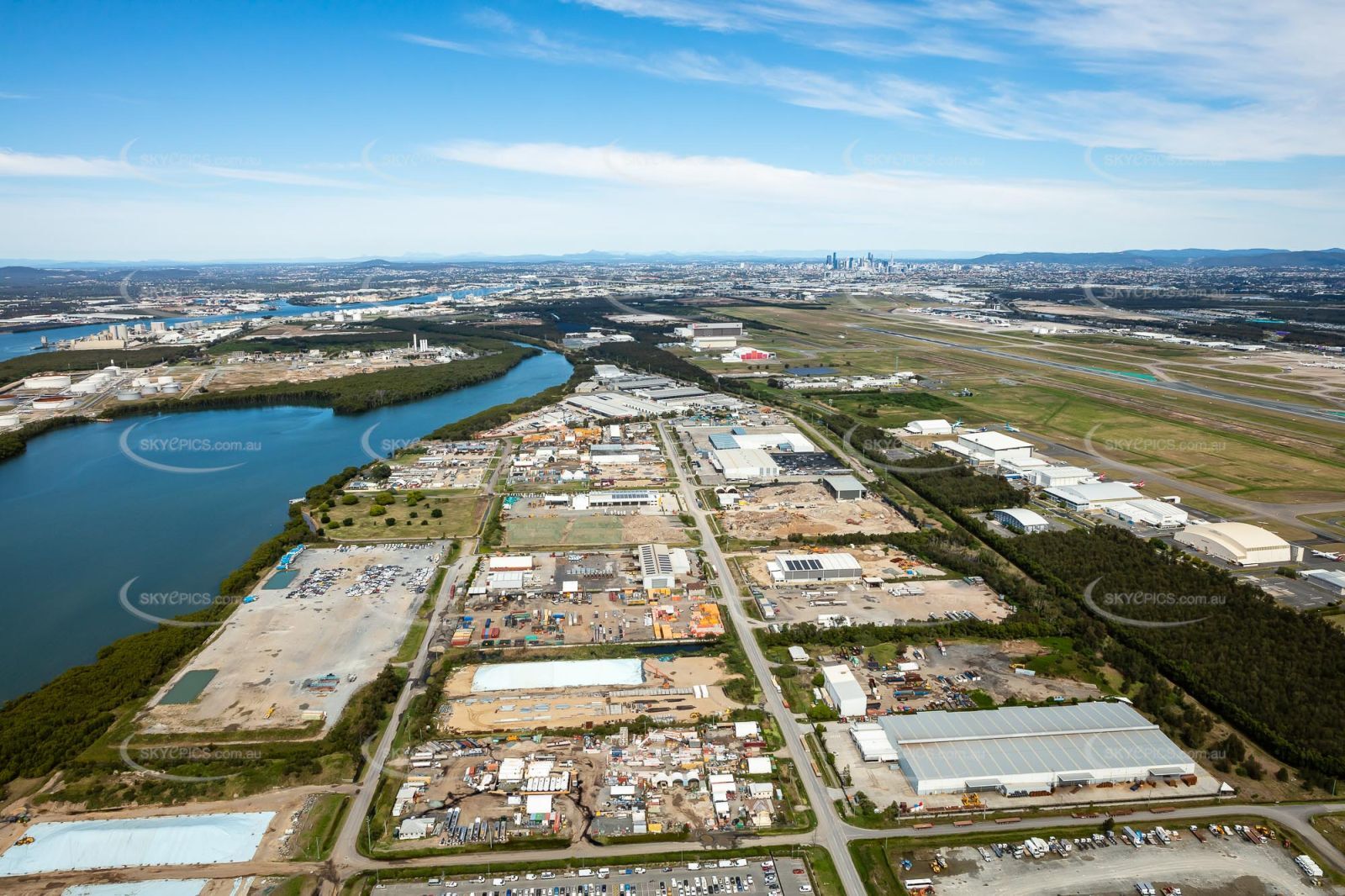
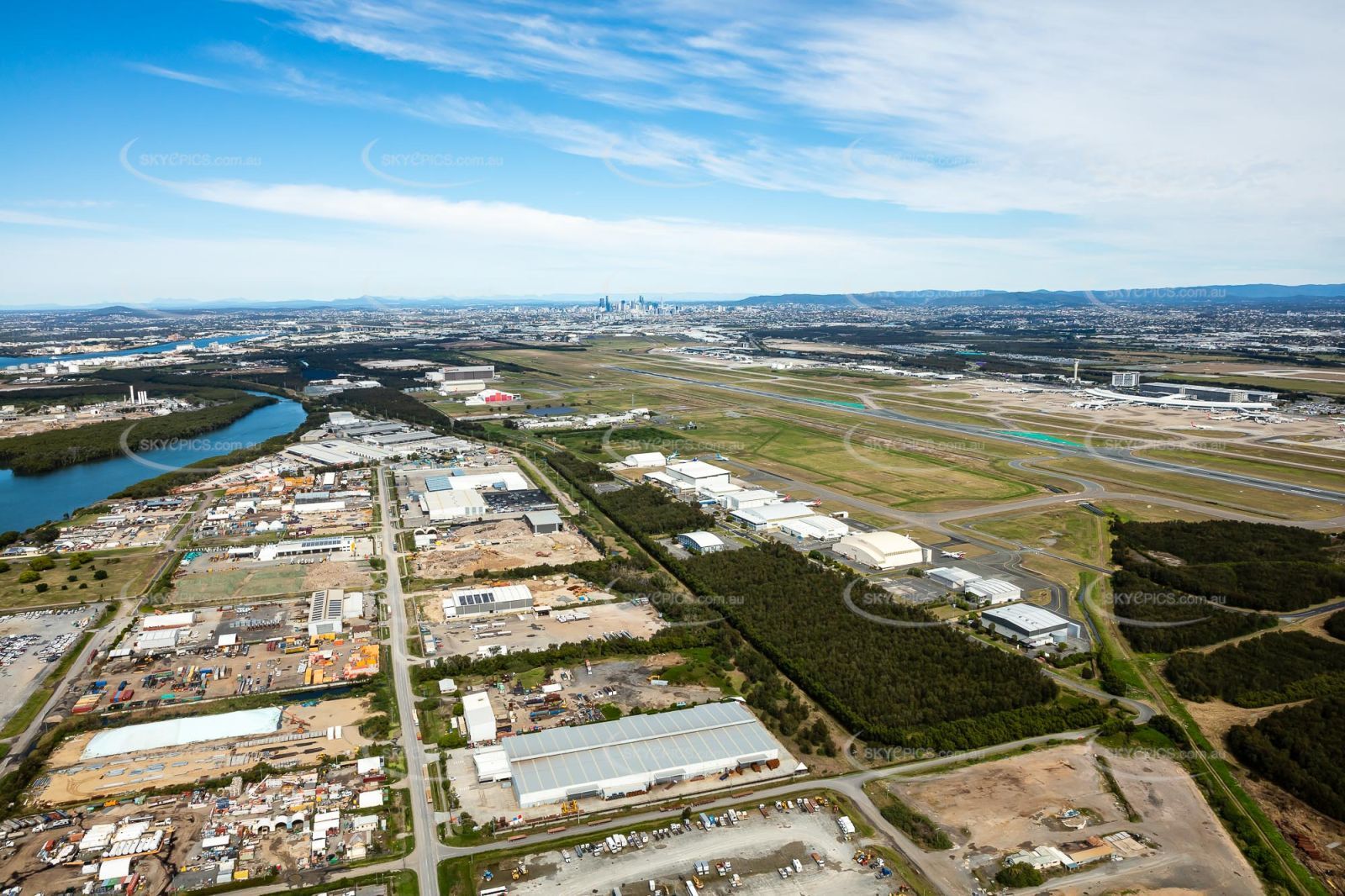
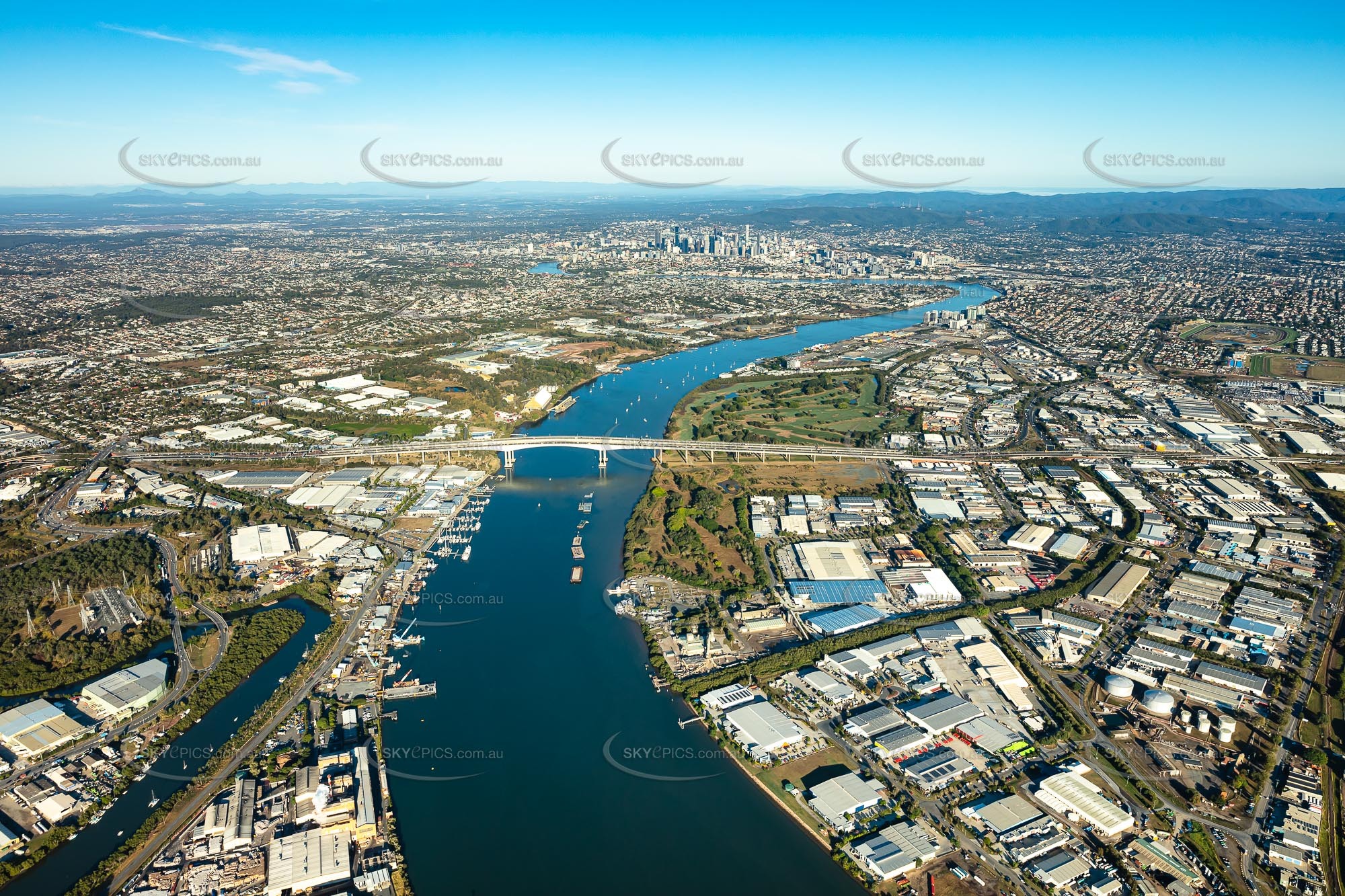
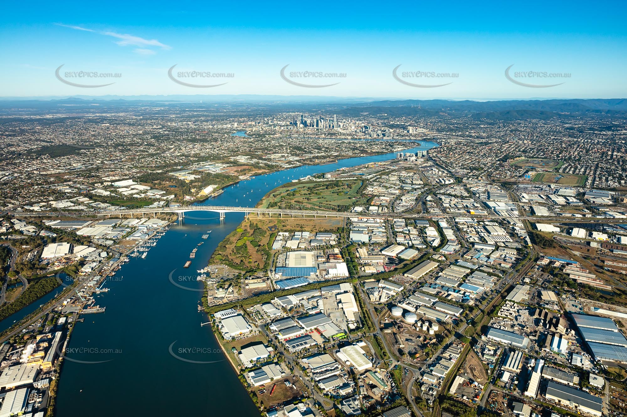
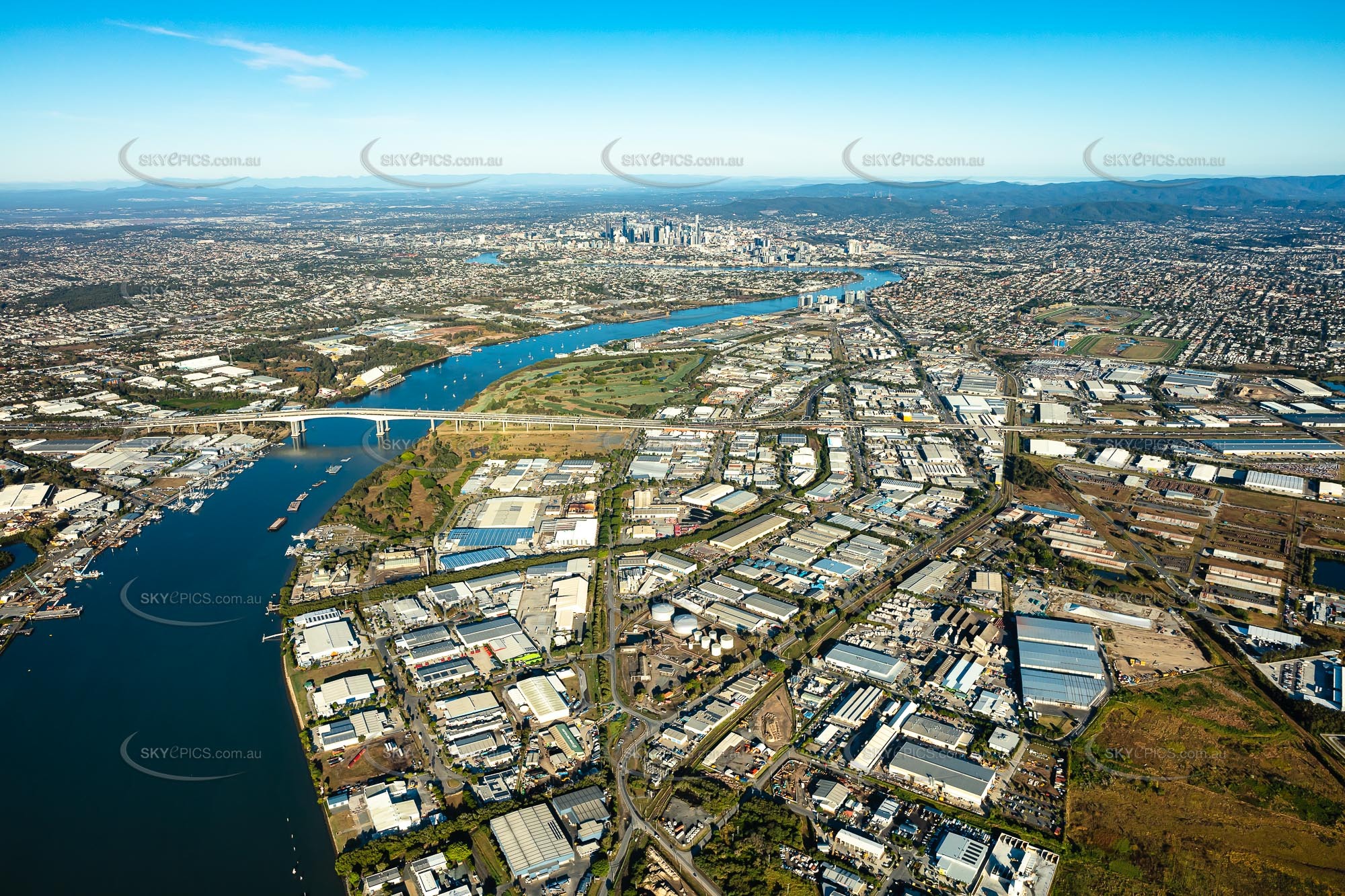
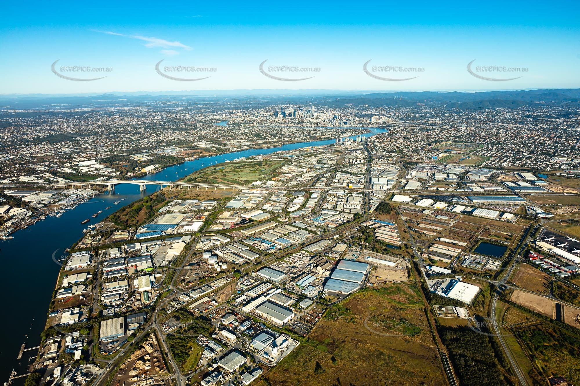
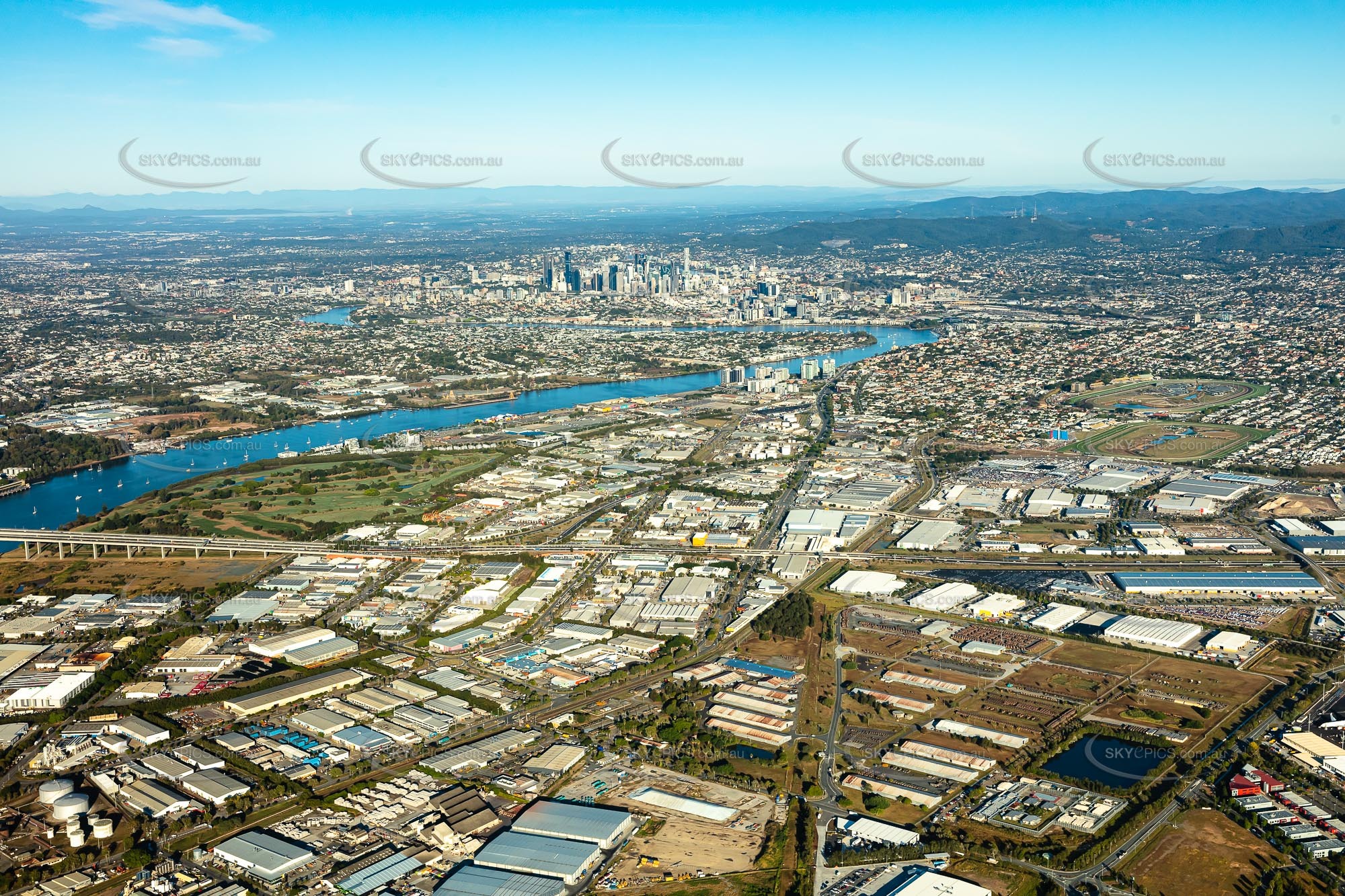
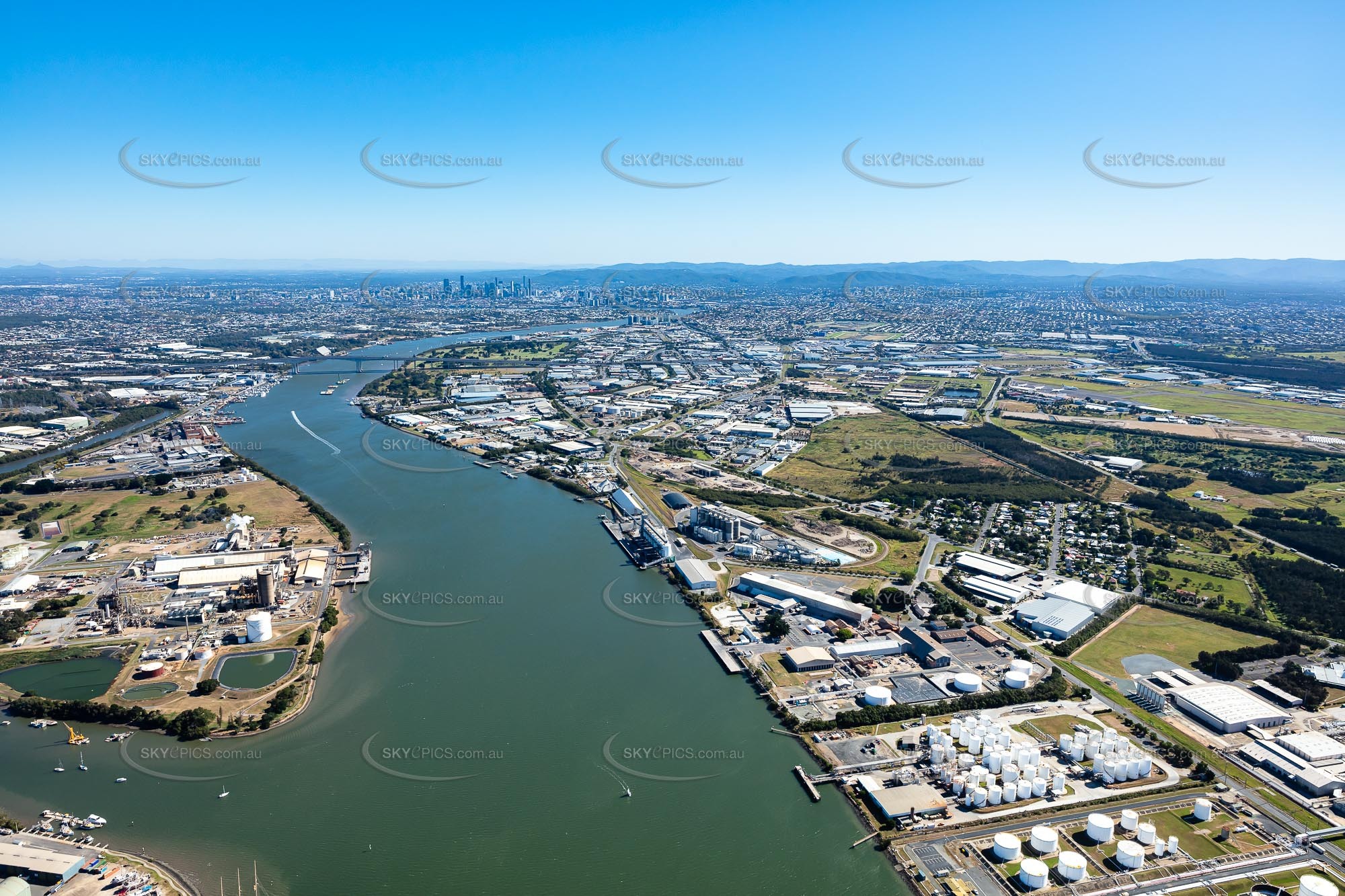
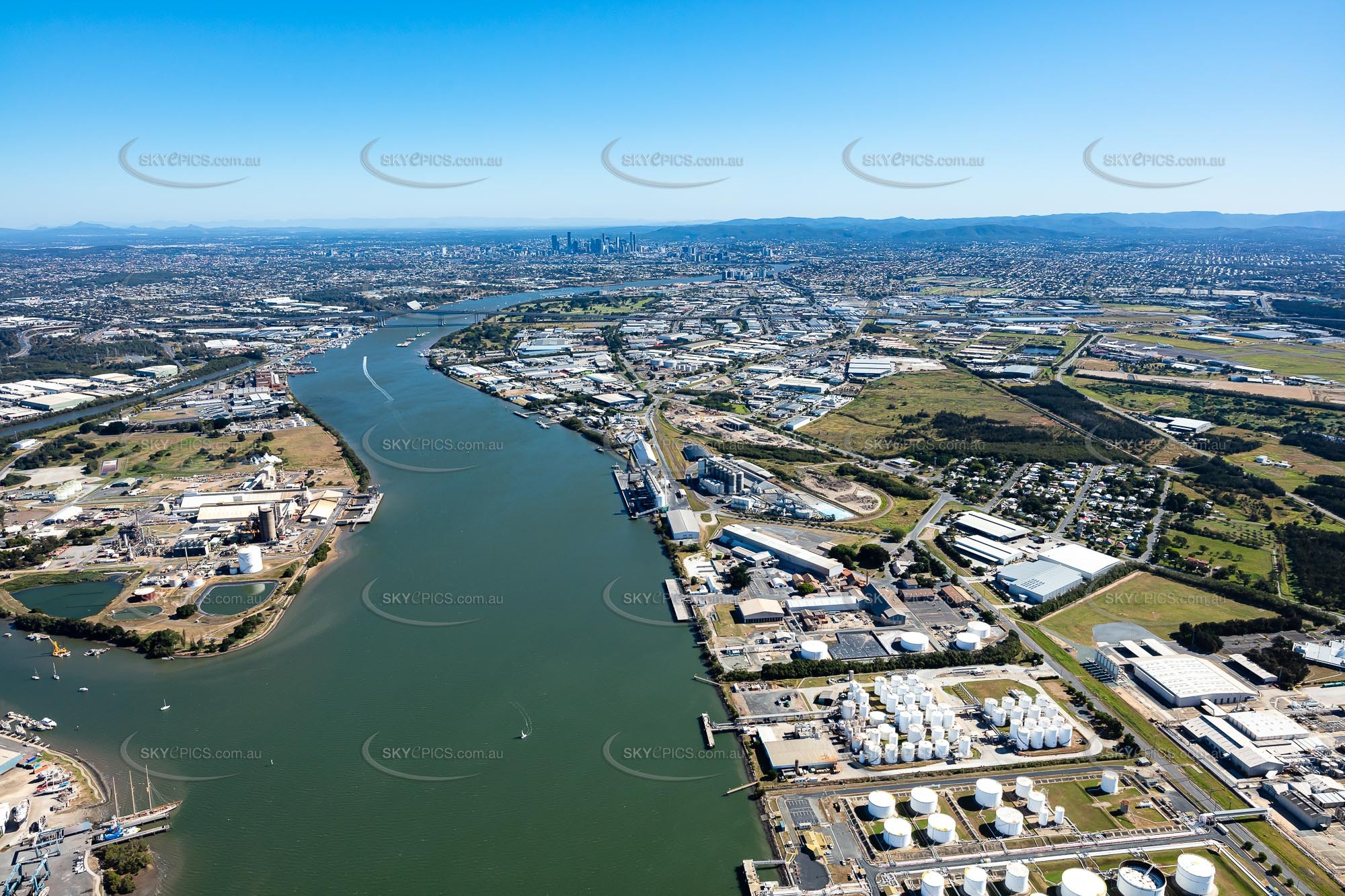
Occupying a thin strip of land between the Brisbane River and Brisbane Airport, Pinkenba is mainly comprised of industrial land. At the northern end of Pinkenba lies the neighbourhood of Myrtletown, while the neighbourhood of Meeandah is located at the southern end. This unusual set-up makes for some visually striking aerial images of Pinkenba, with most images featuring some combination of industry, residential areas and the sweeping Brisbane River and many featuring the instantly recognisable Brisbane city skyline in the background.
Make your Pinkenba project pop with sharp, beautiful Pinkenba aerial photography
At Skyepics we've spent years capturing Australia's eastern seaboard from Cairns in the far north to Sydney in the south. We've honed our collection of hundreds of thousands of aerial photographs and videos into a curated library of over 70,000 of the best shots for you to choose from including shots of nearby suburbs like Lytton, Eagle Farm and Hemmant. Need something in particular for your Pinkenba project? Take advantage of our custom aerial photography service and get unique professional aerial images tailored to your exact needs. Whether it's a personal interest project or a commercial undertaking, we'll work with you to capture the images or video you're after.
Save up to 68% with great value Pinkenba aerial photography packages
We pride ourselves on delivering premium quality aerial photography first time, every time. Whether you're working on a commercial or corporate assignment or a fun personal interest project we can help you make your Pinkenba project a work of art with gorgeous aerial photography. Need multiple images? Explore our great value credit packages and save up to 68% with instant downloads on most digital images. Got a question about our aerial photography services? Check out our FAQs or get in touch today.
